Blog
Recognition
RPAS Regulation
Español
0
home
Application areas
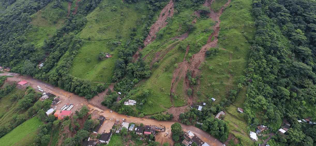
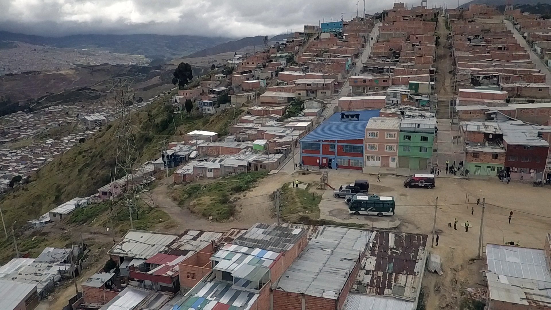
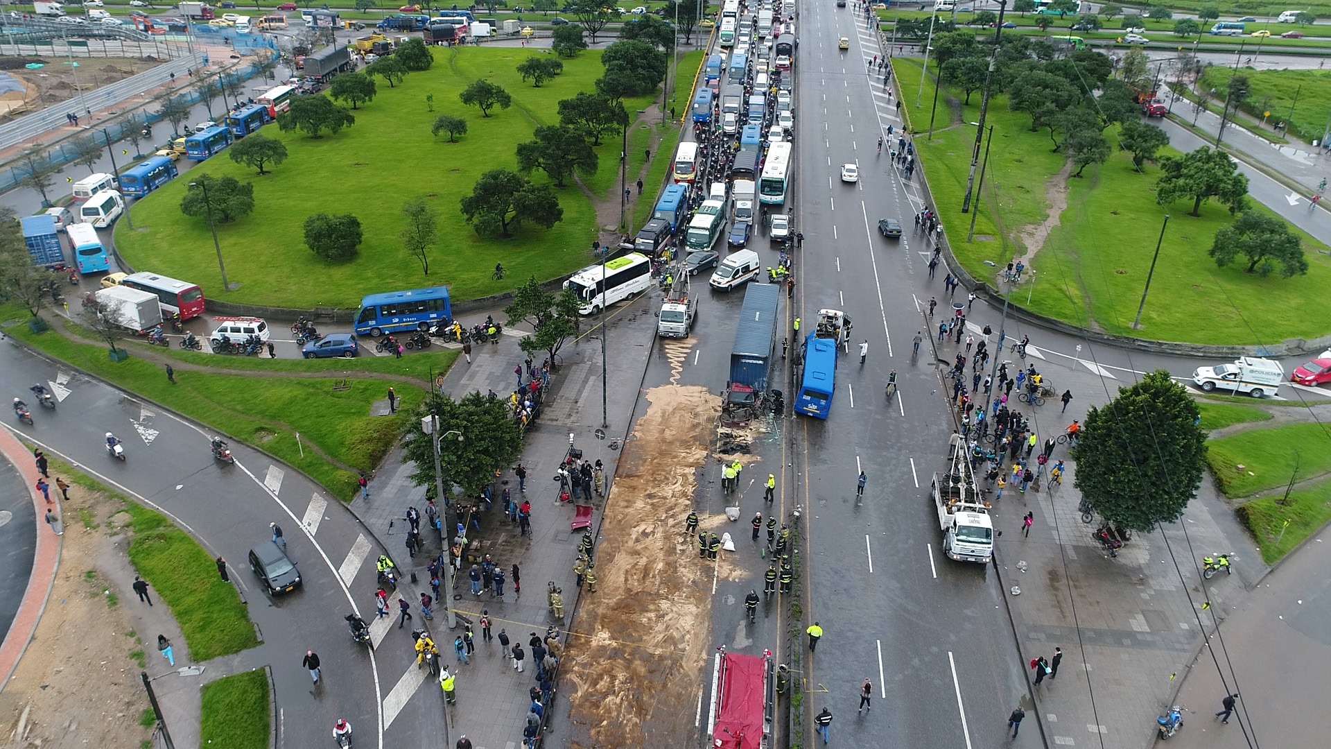
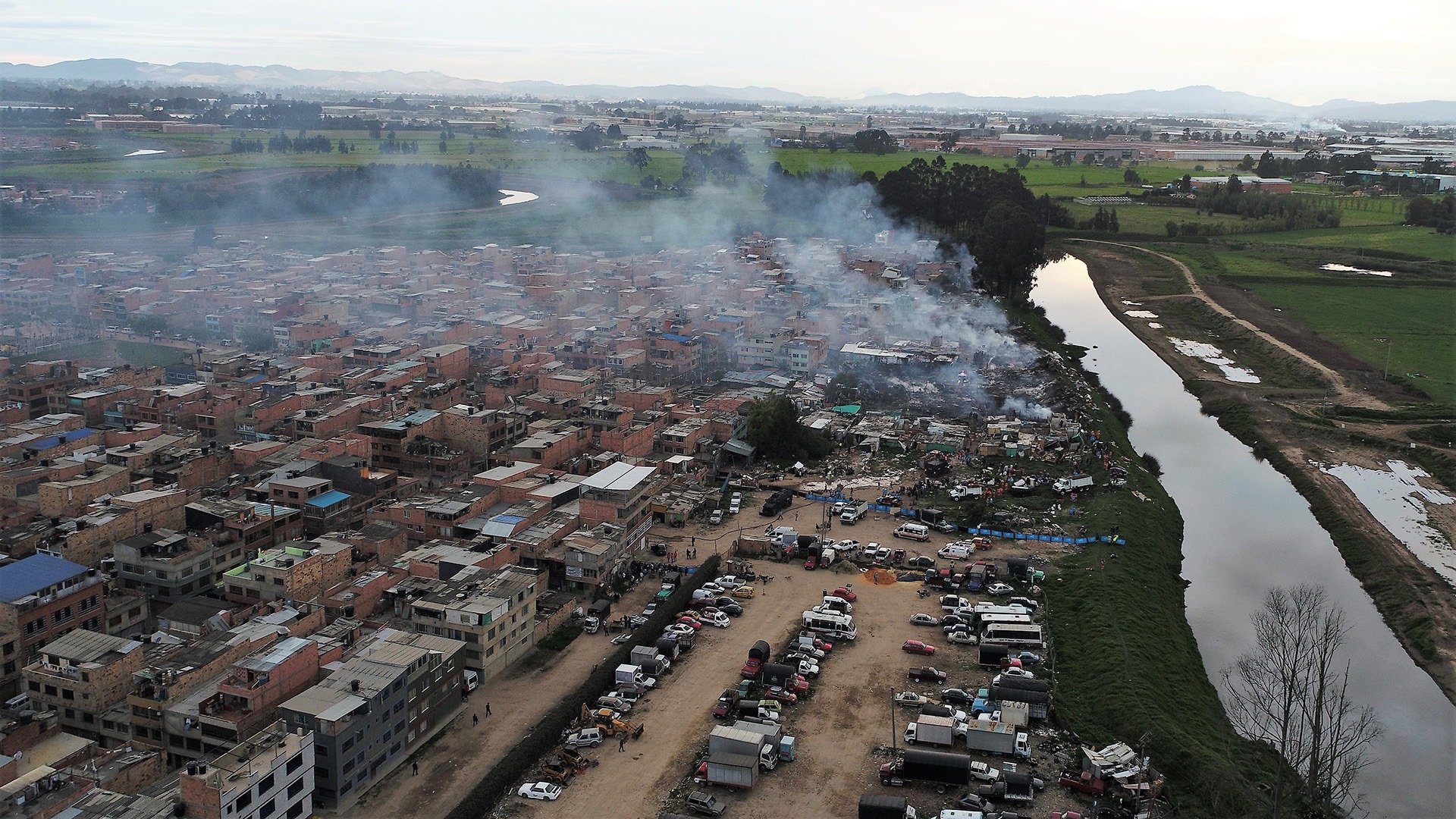
Risk management and disaster response
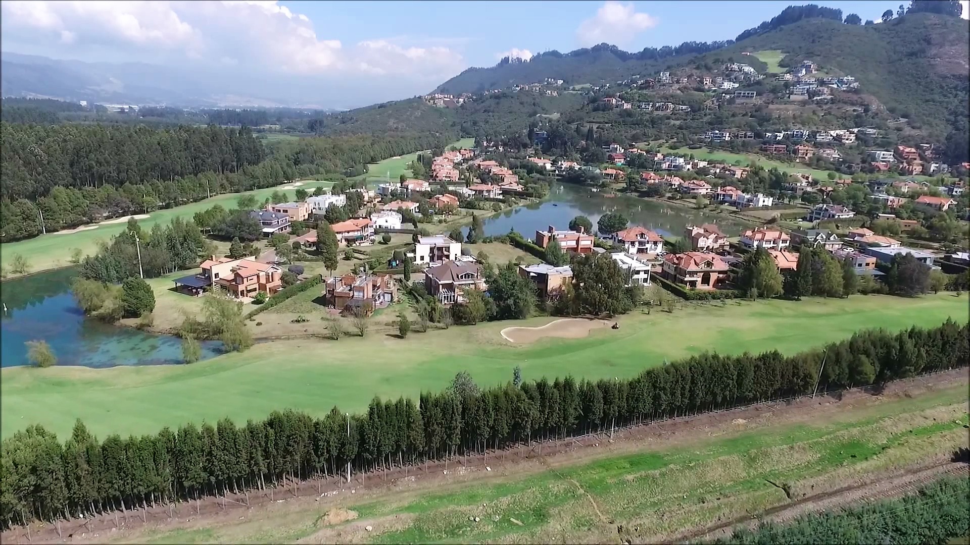
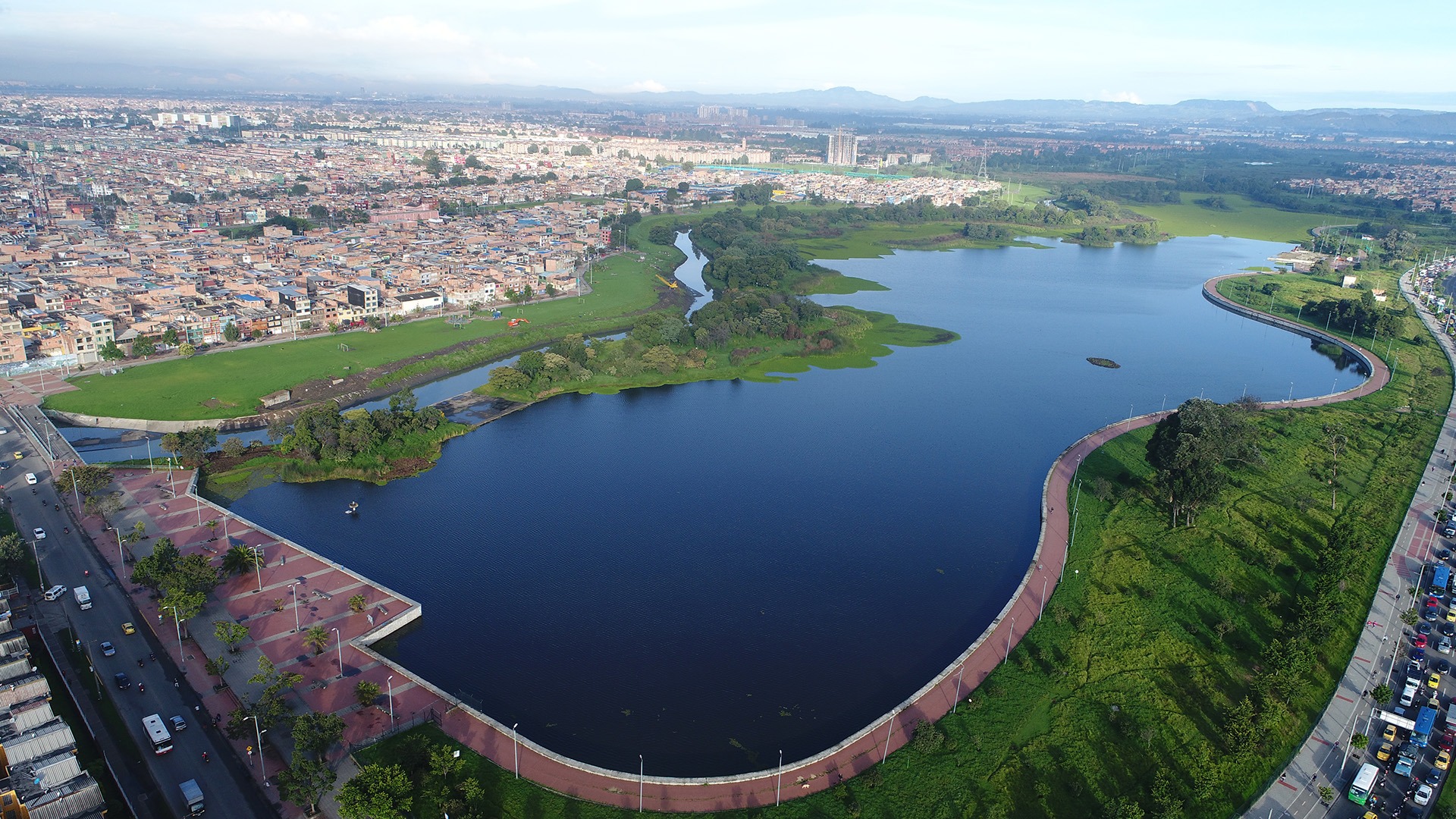
Topographic Studies and Cartography
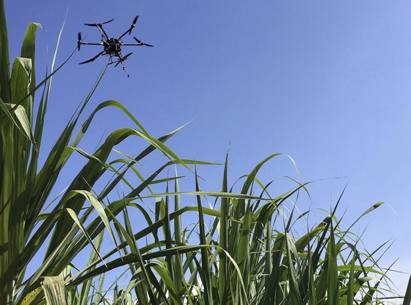
Precision Farming
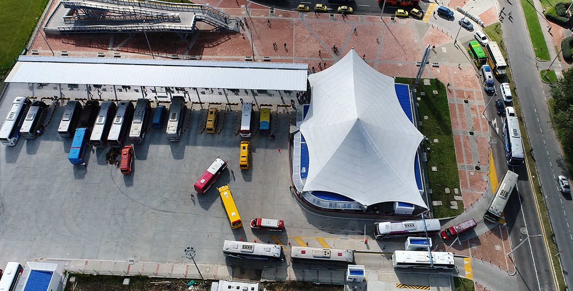
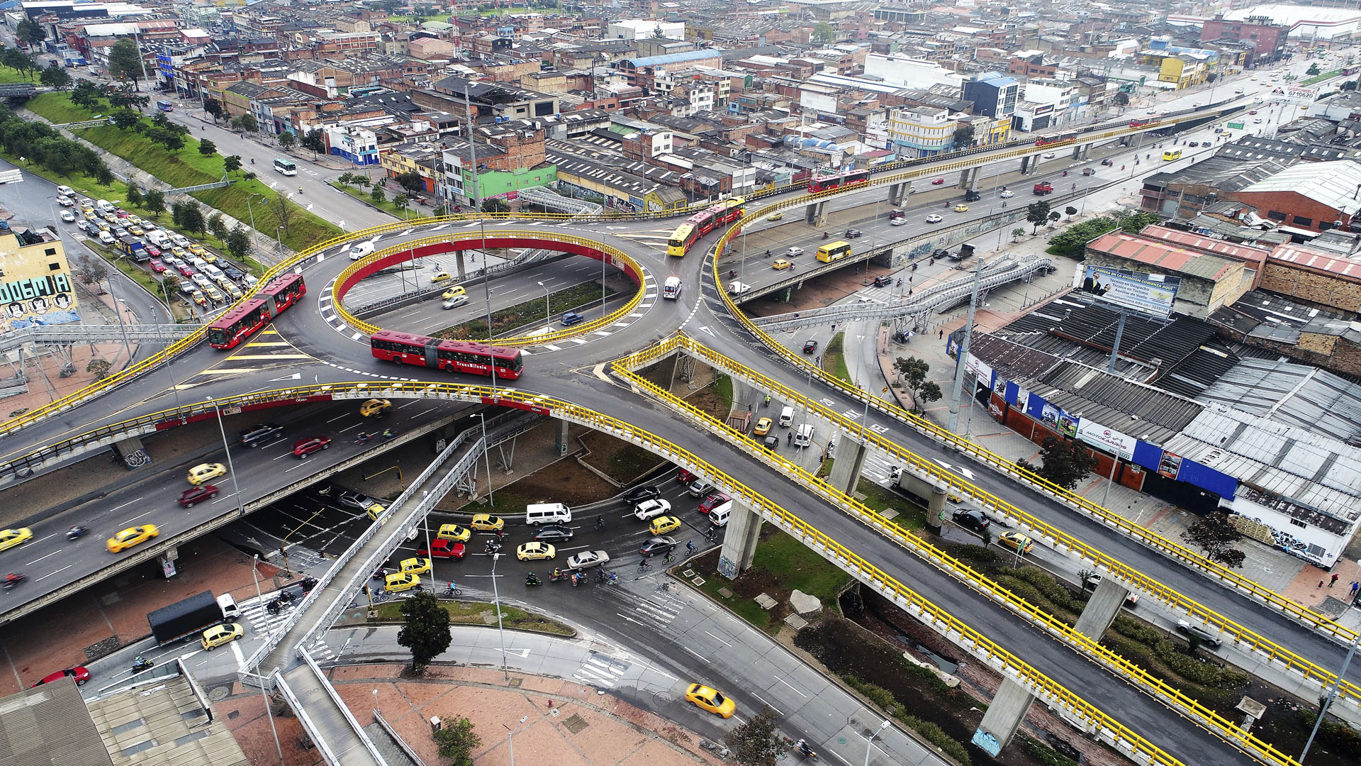
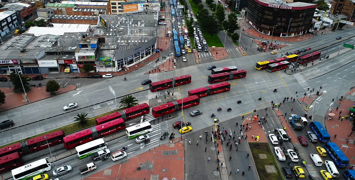
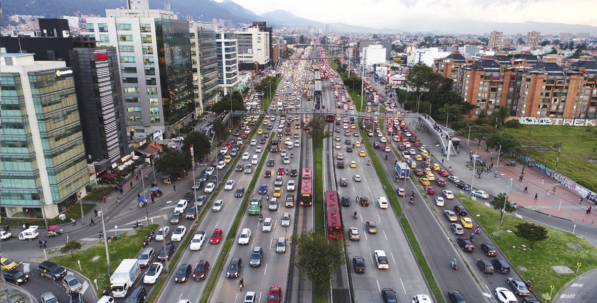
Traffic Monitoring, Mobility and Insurance
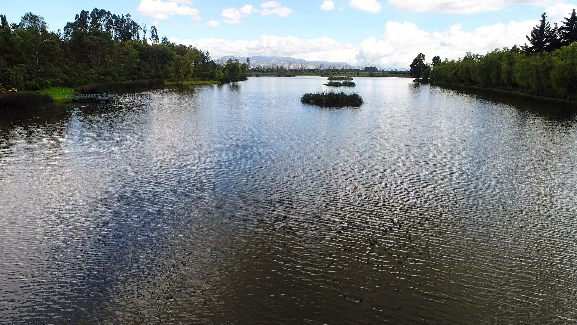
Natural Resources and Environment
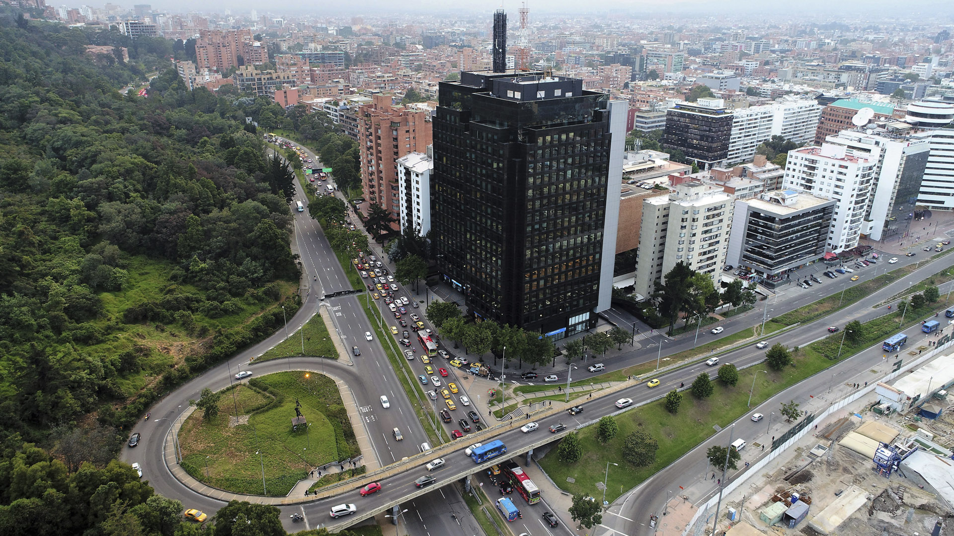
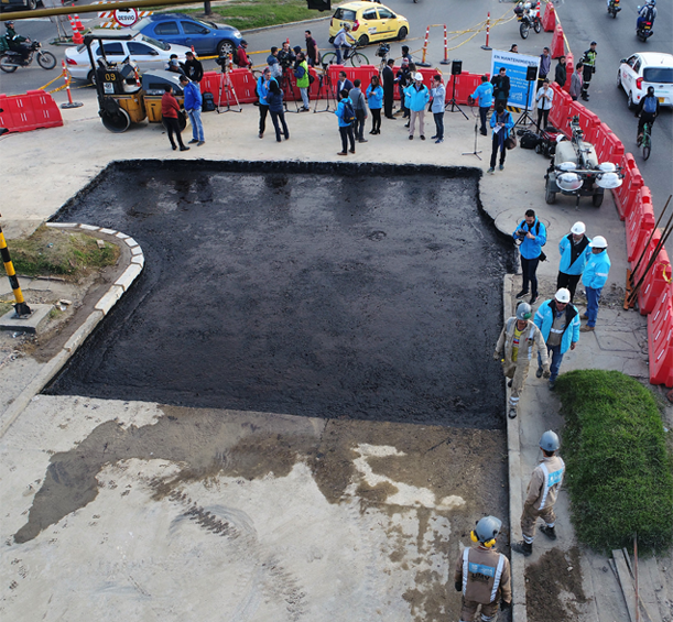
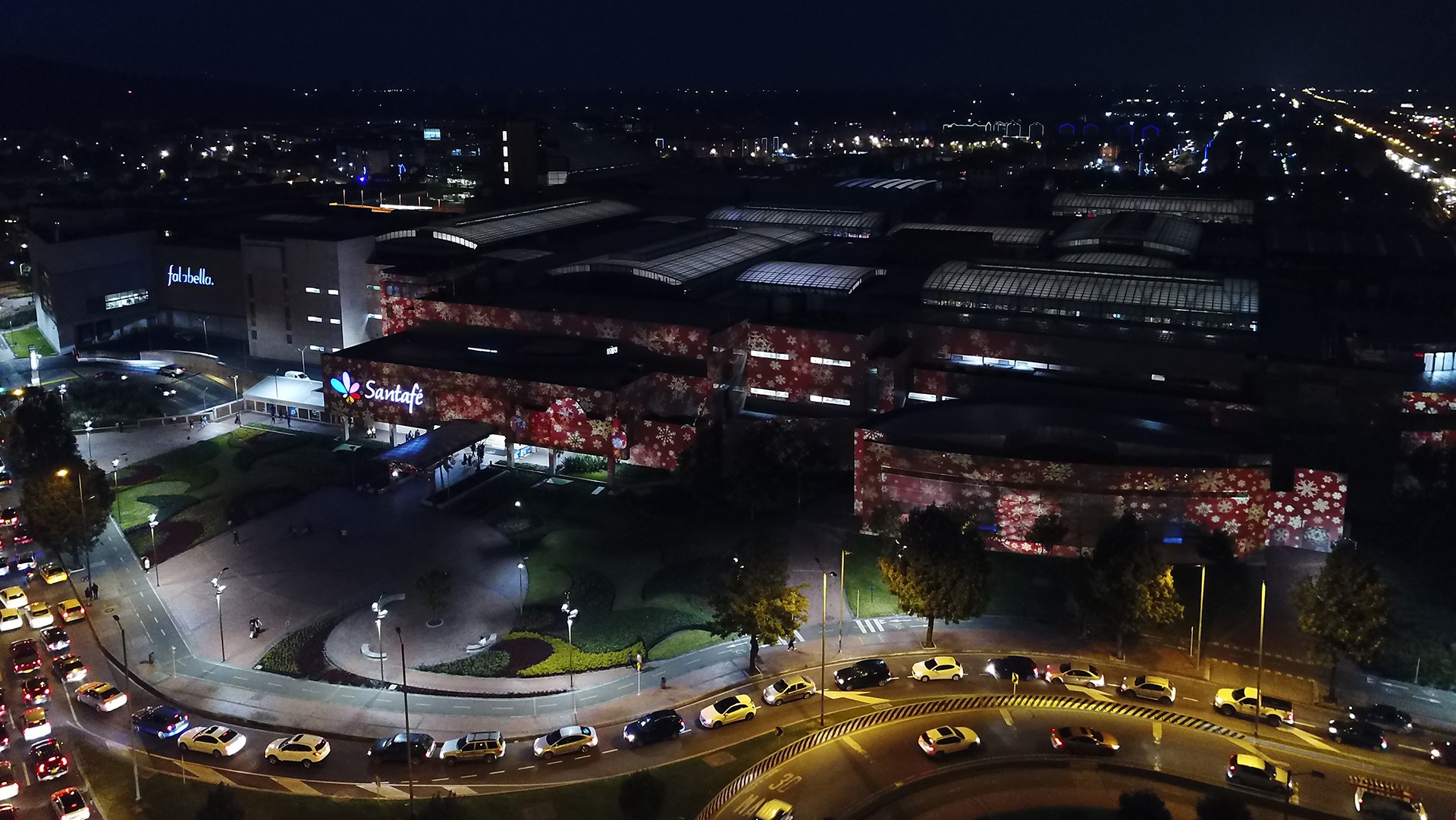
Urban Development and Auditing of Works
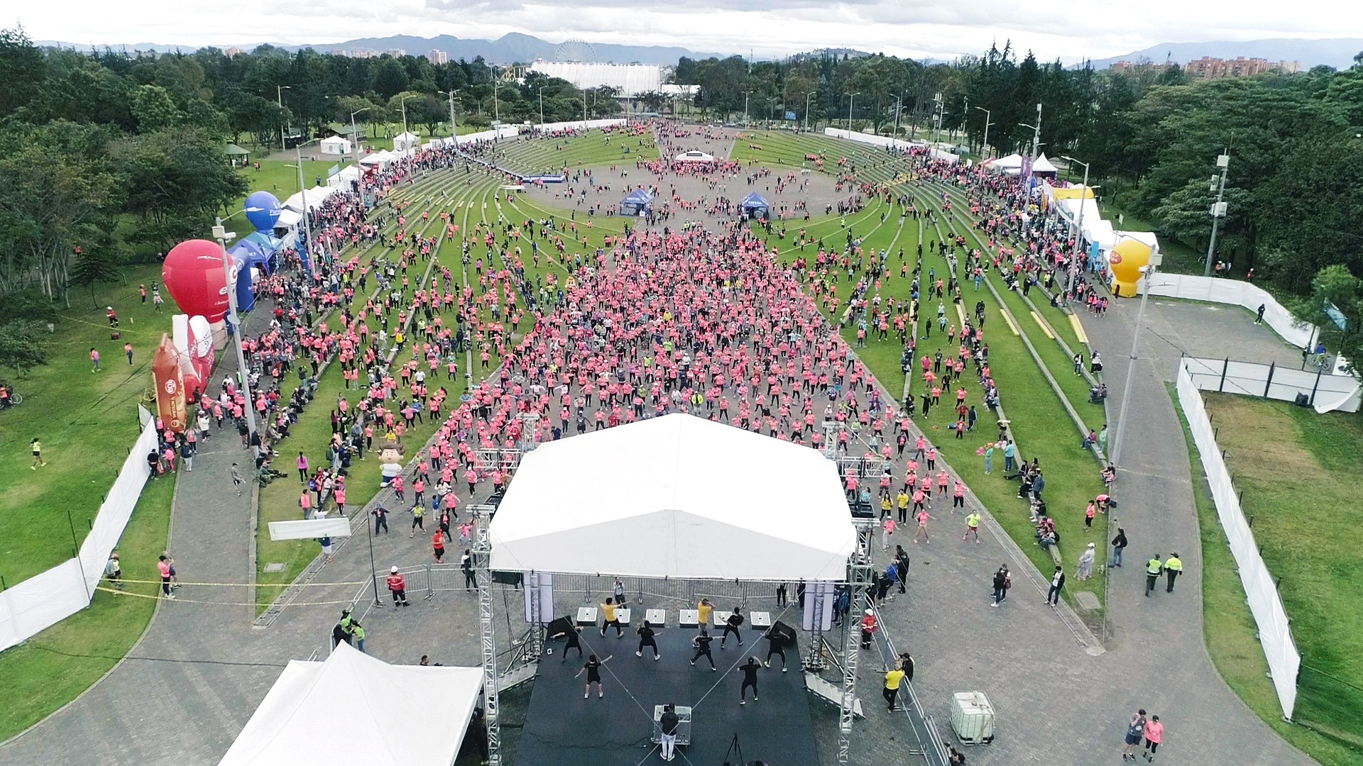
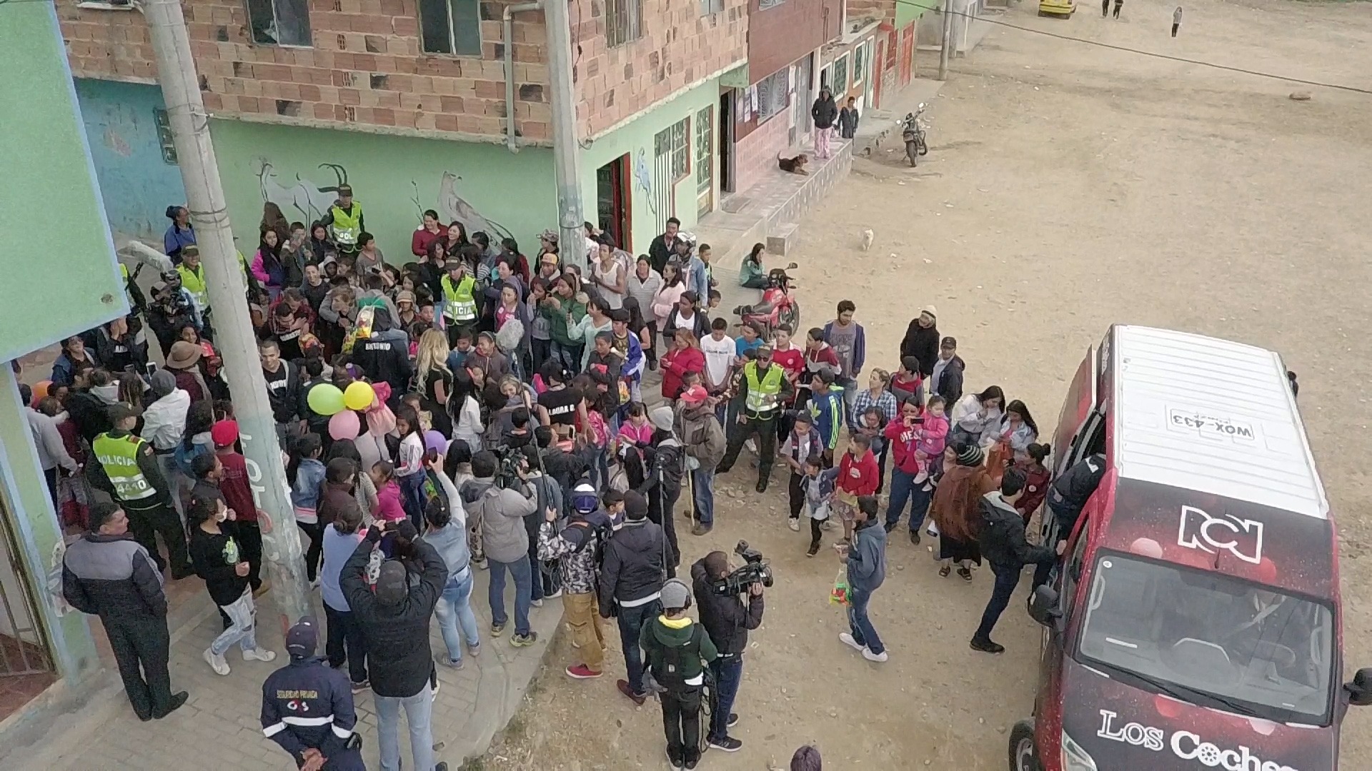
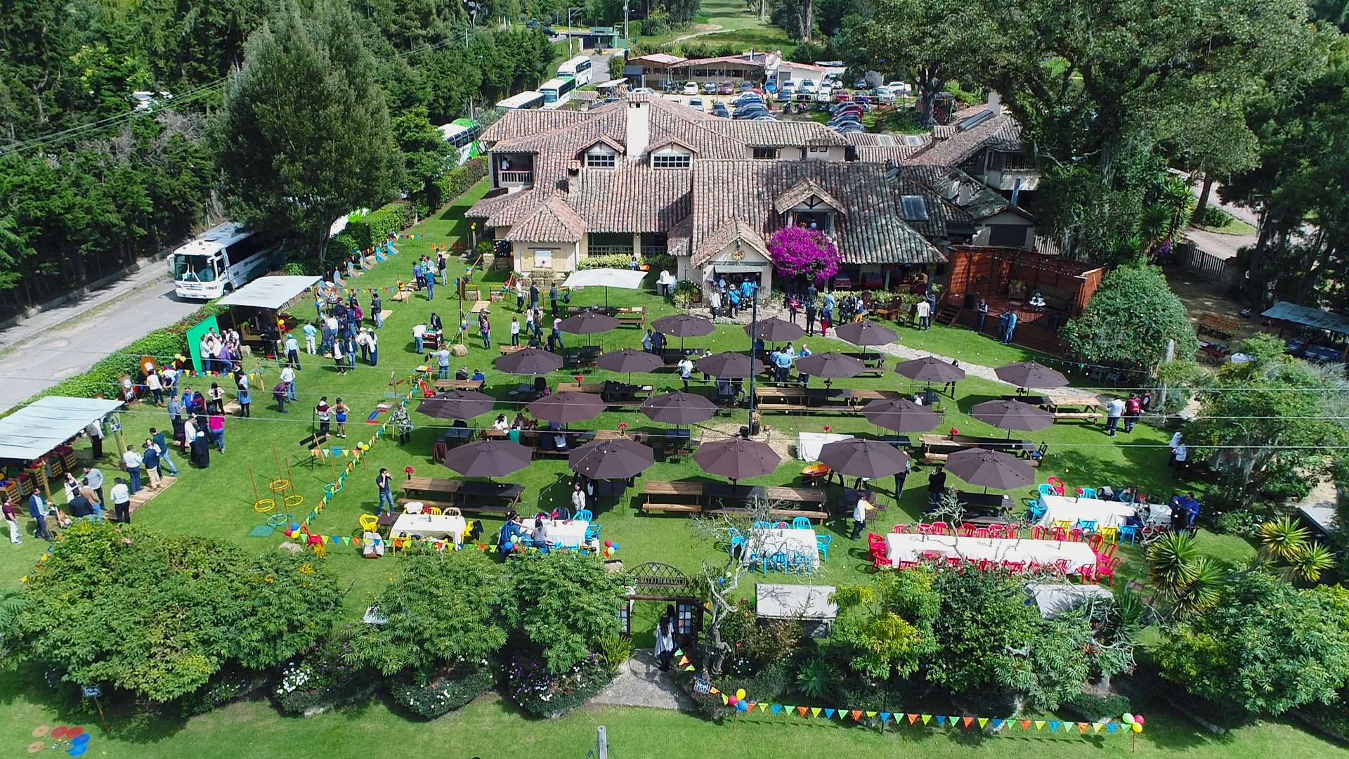
Audiovisual, Events, Advertising and Tourism
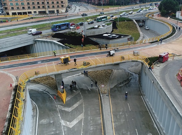
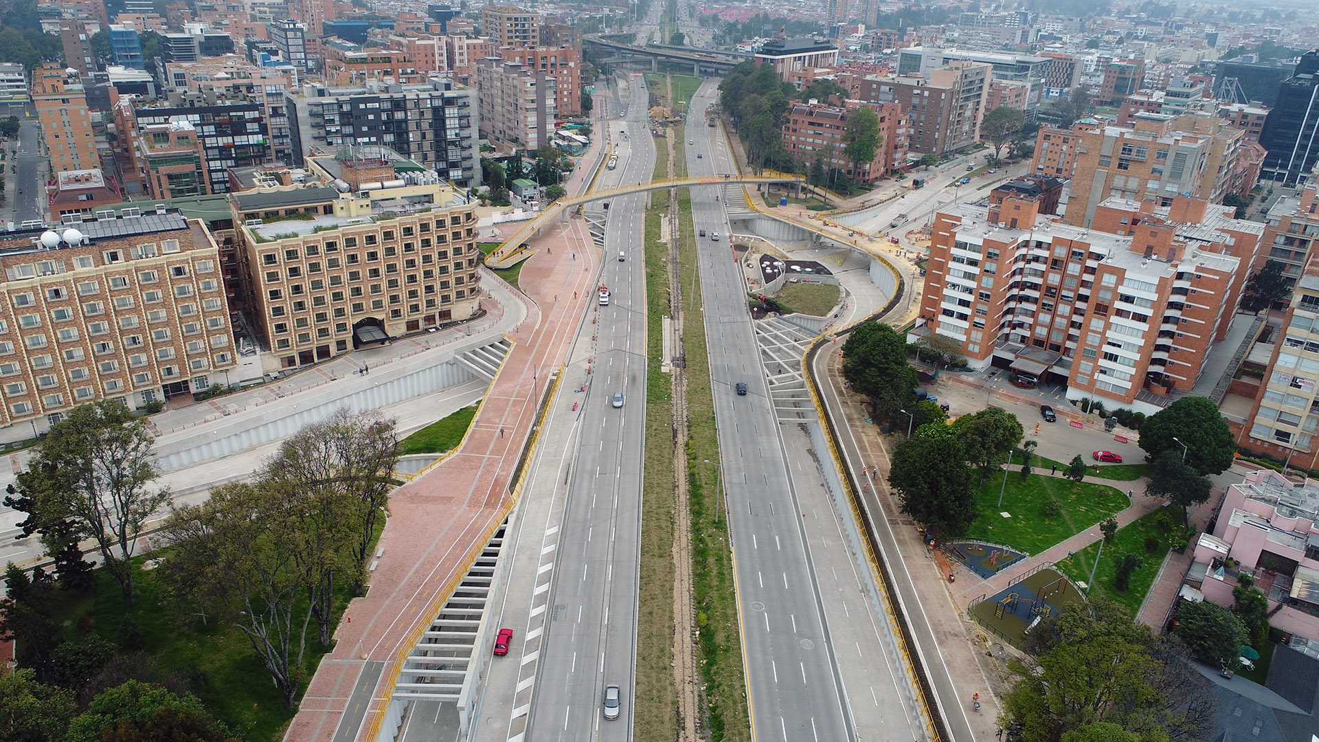
Infrastructure Analysis
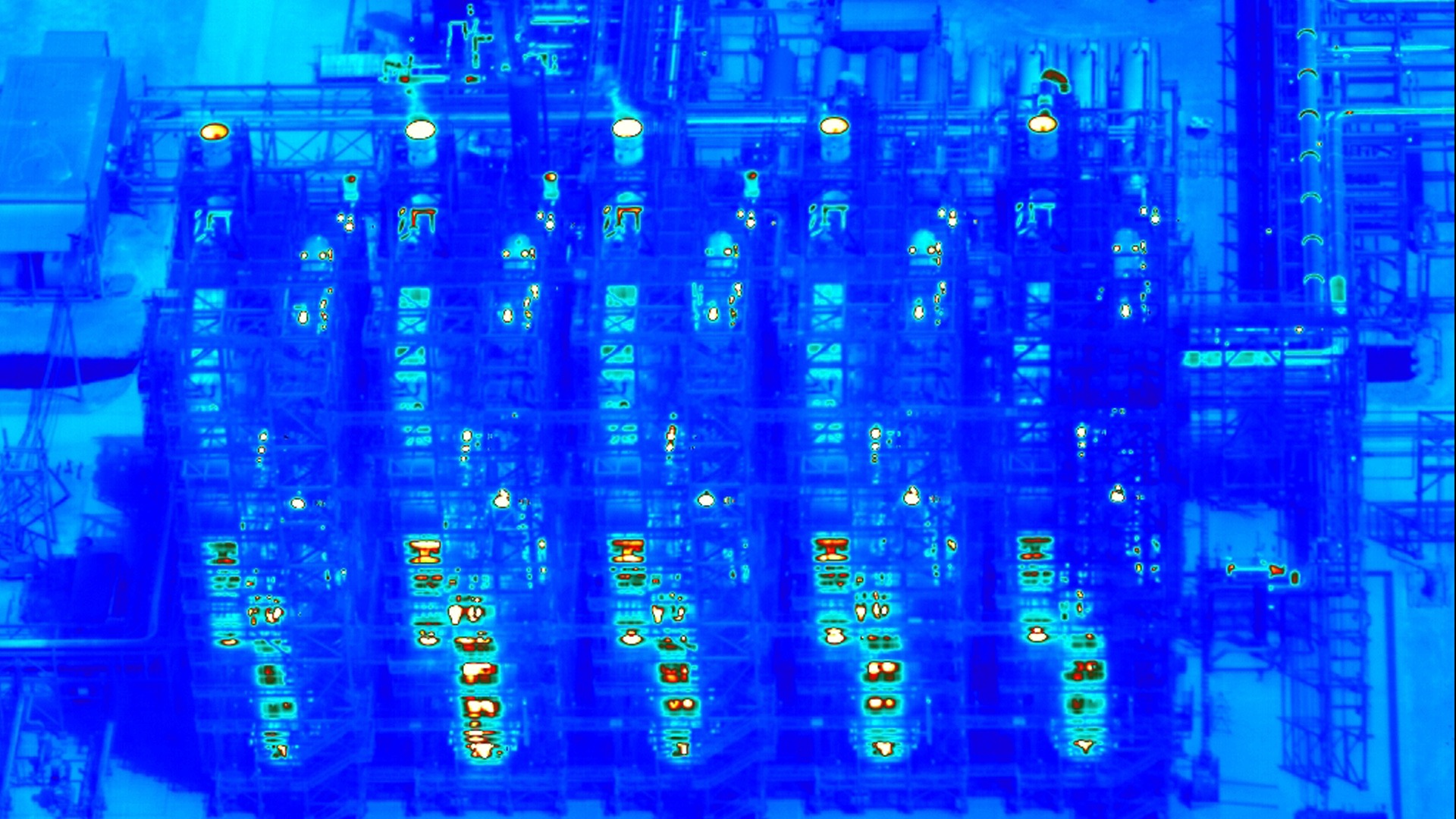
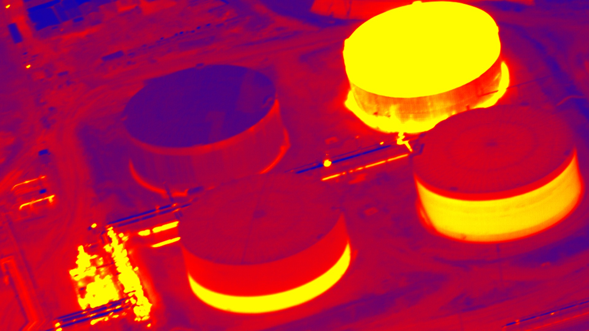
Physical and Industrial Safety
Mines and Energy
Technology
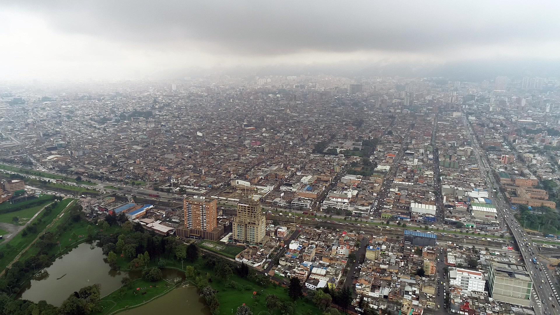
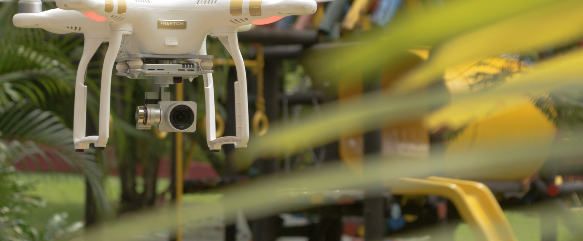
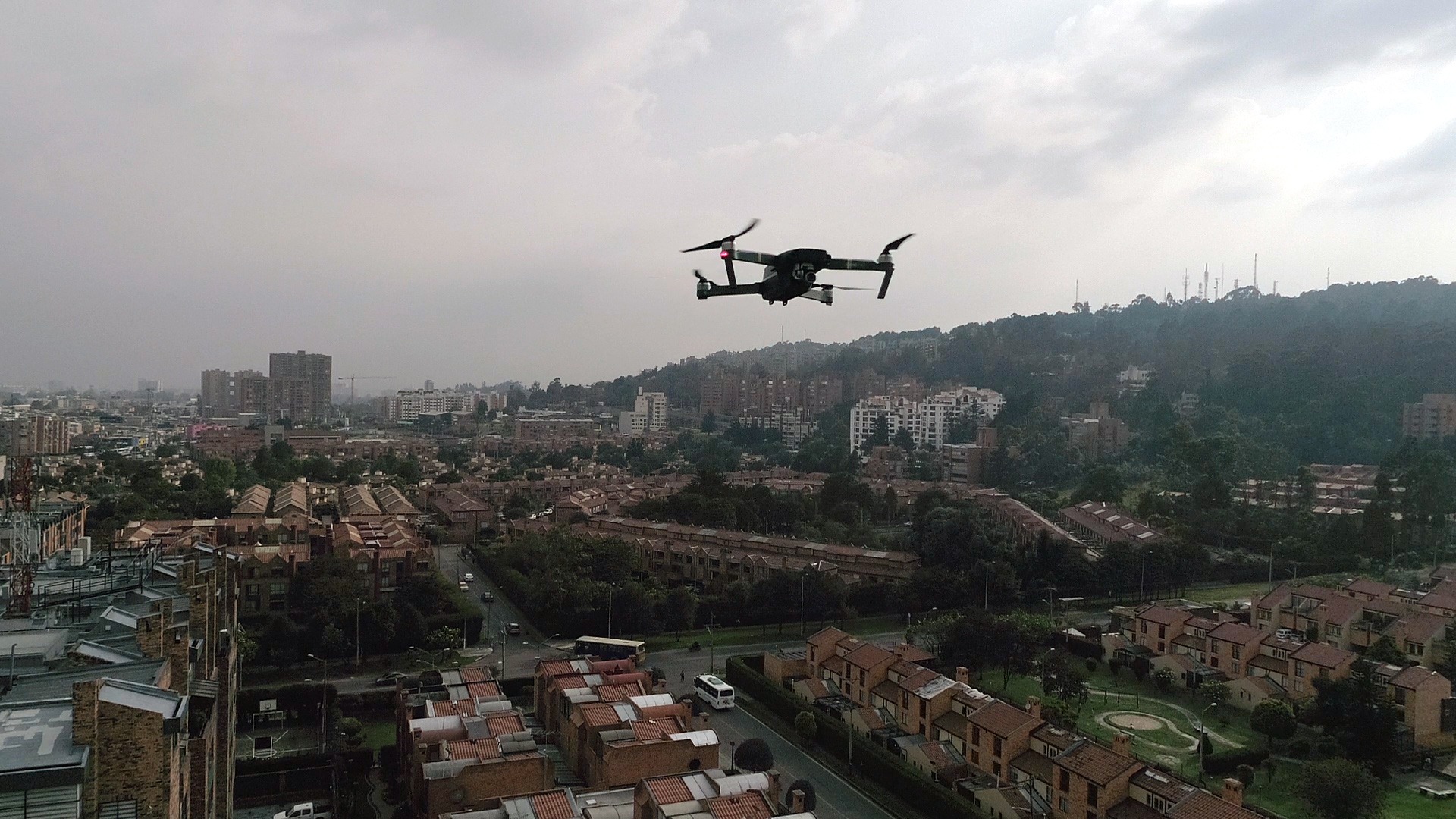
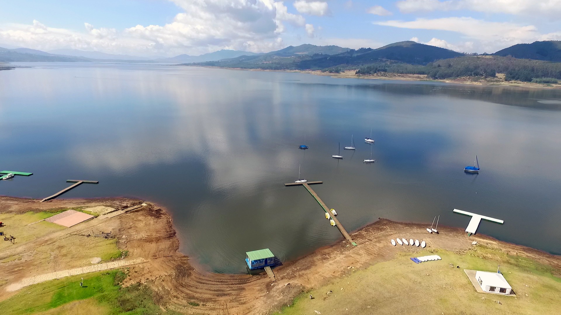
High resolution aerial images
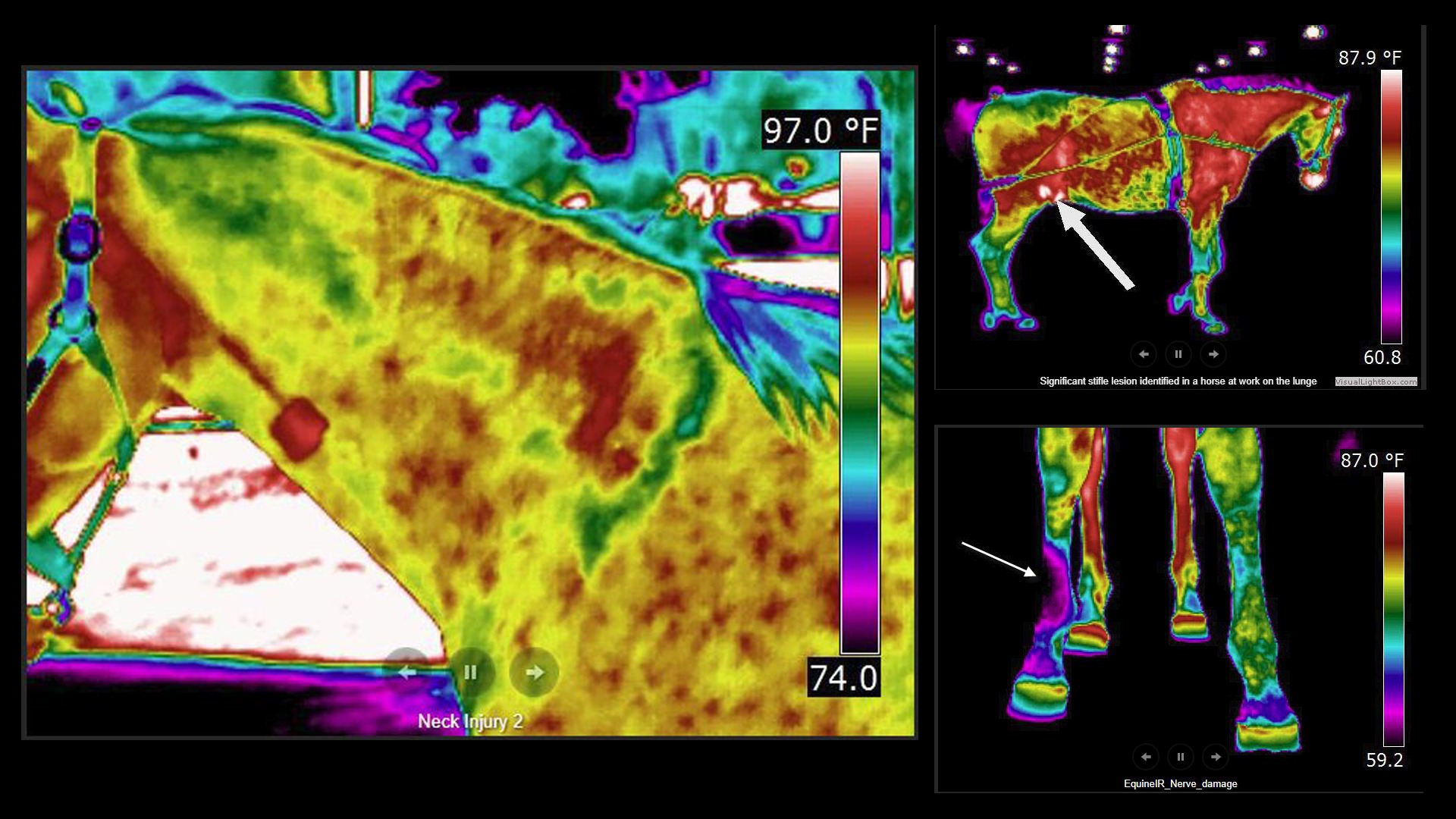
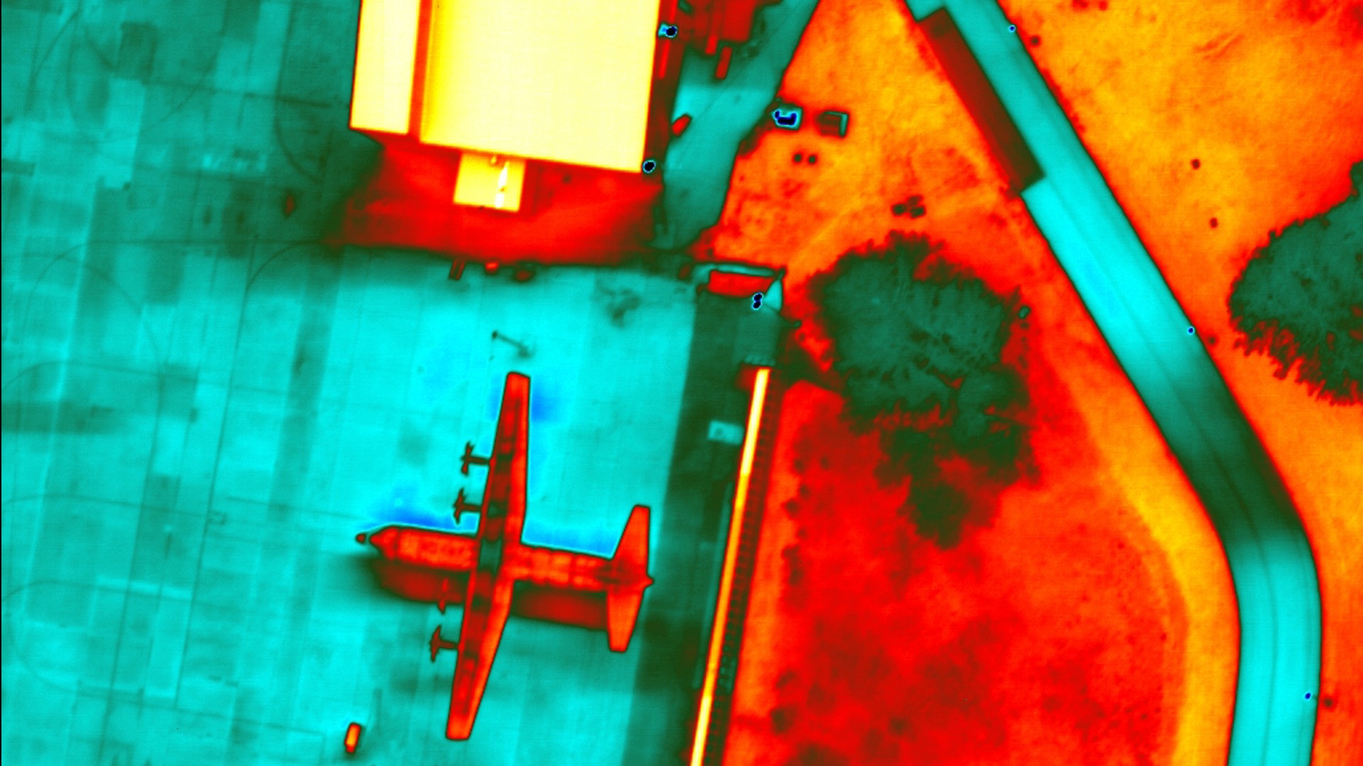
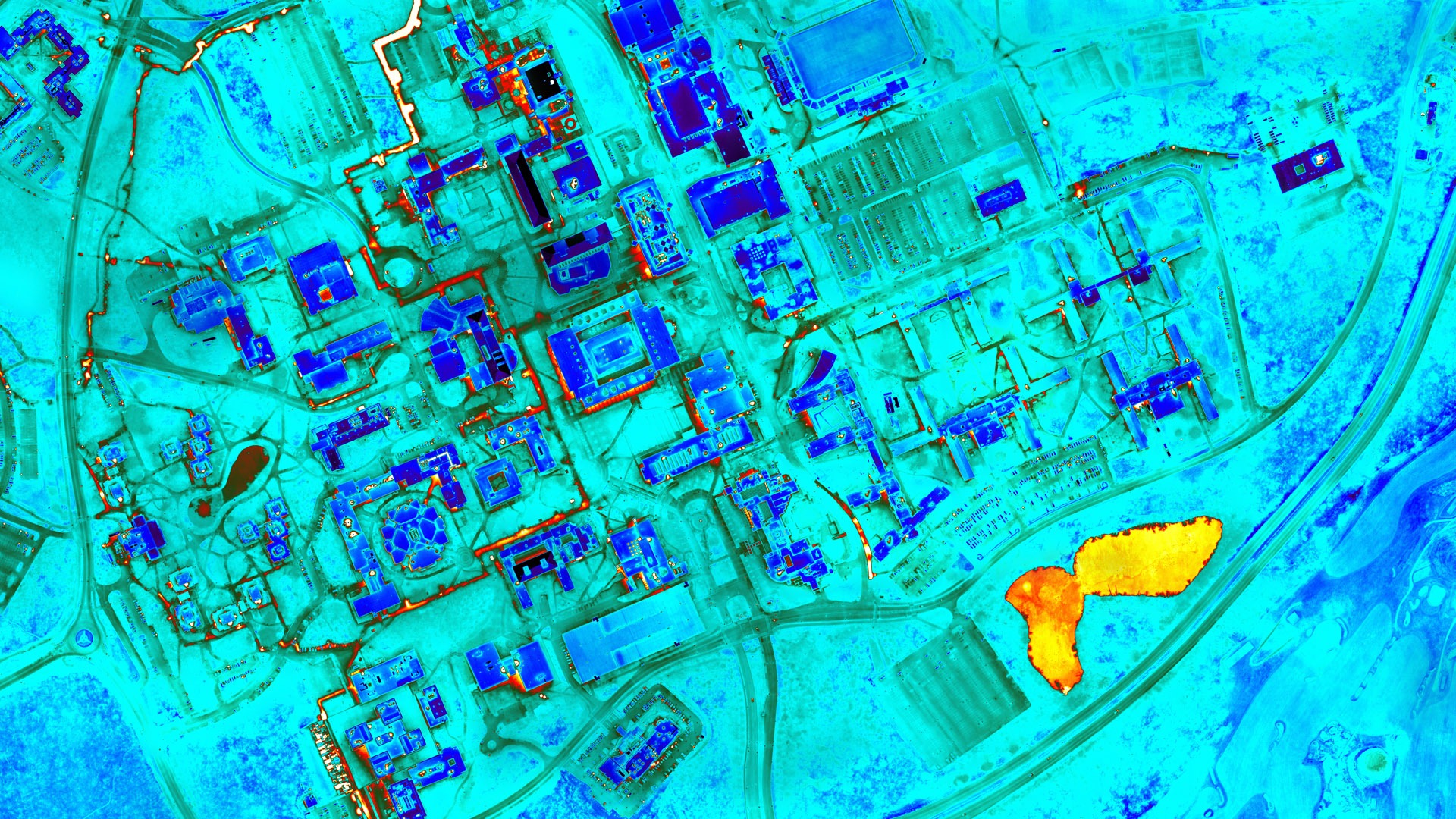
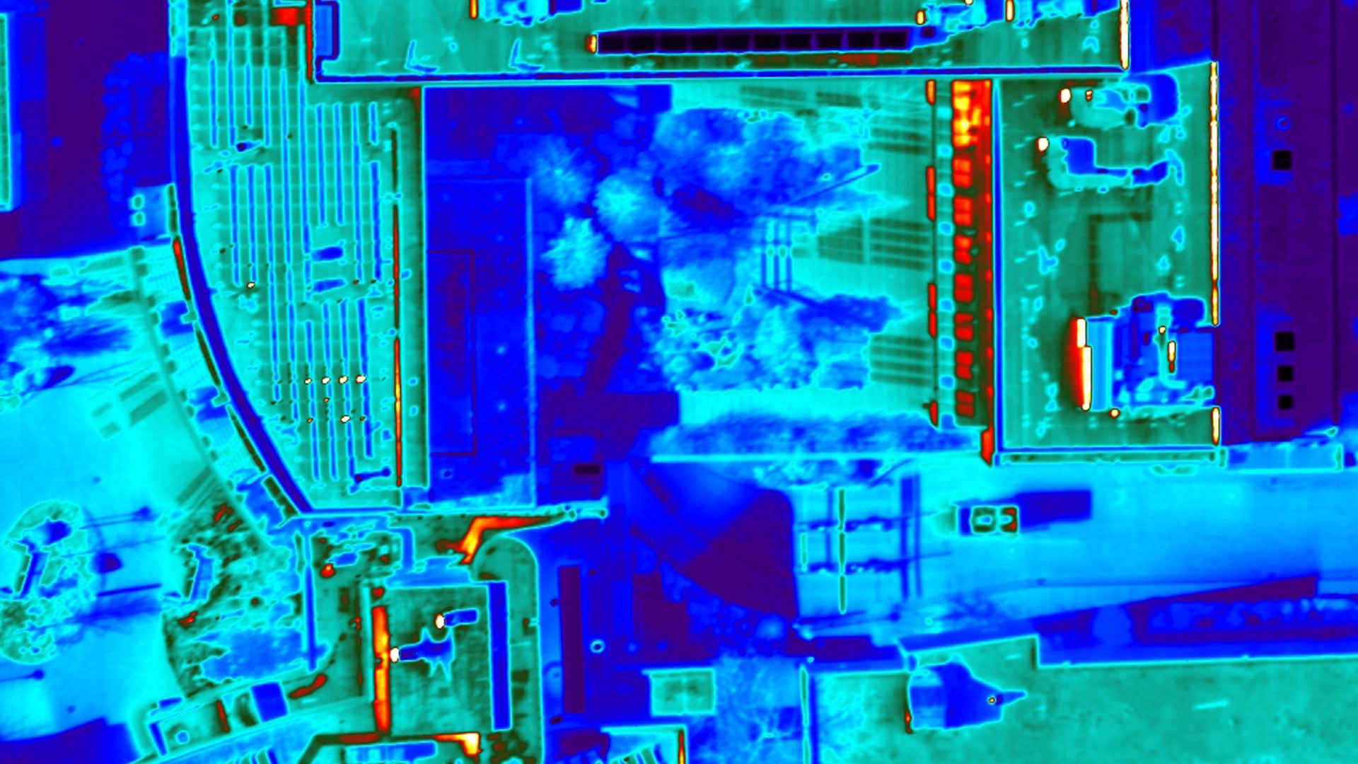
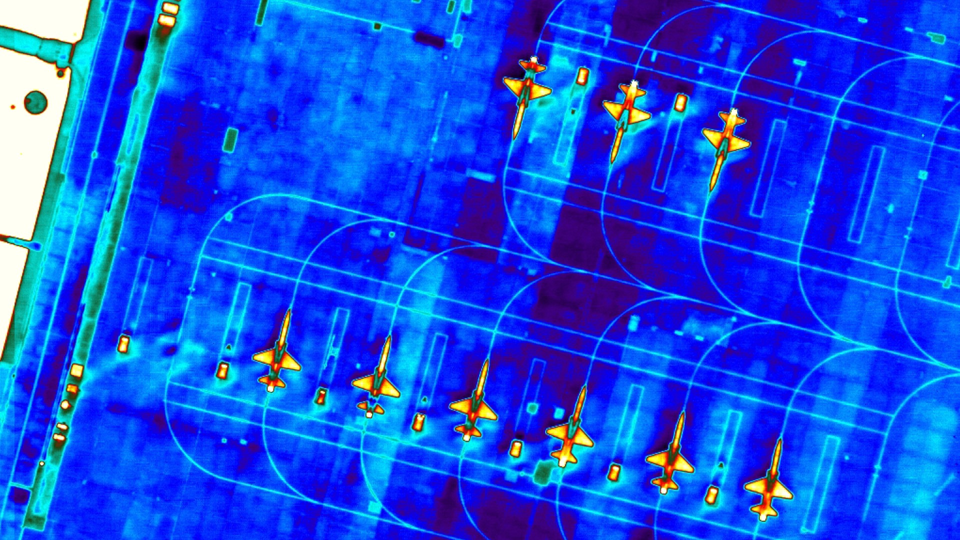
Infrared images
Satellite Images
Processing of Images, Data and Virtual Reality
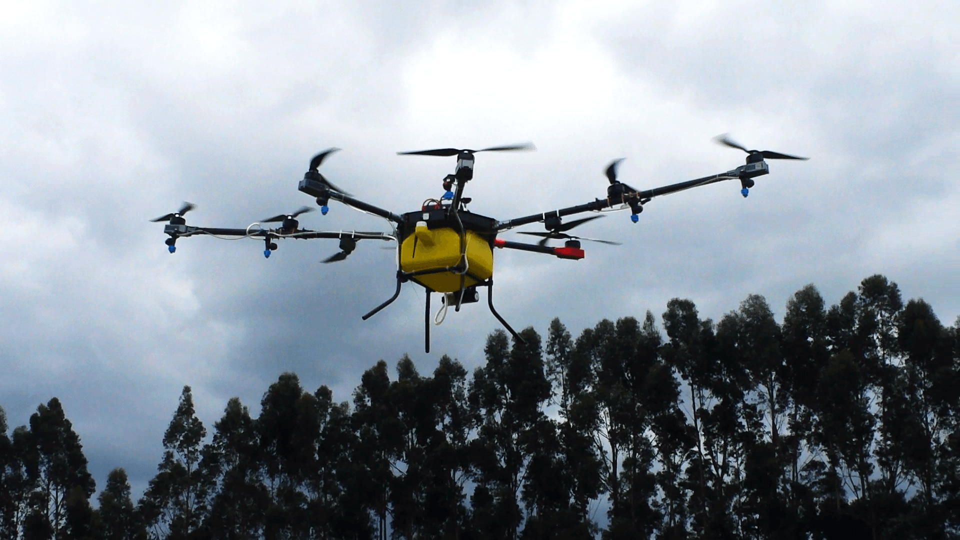
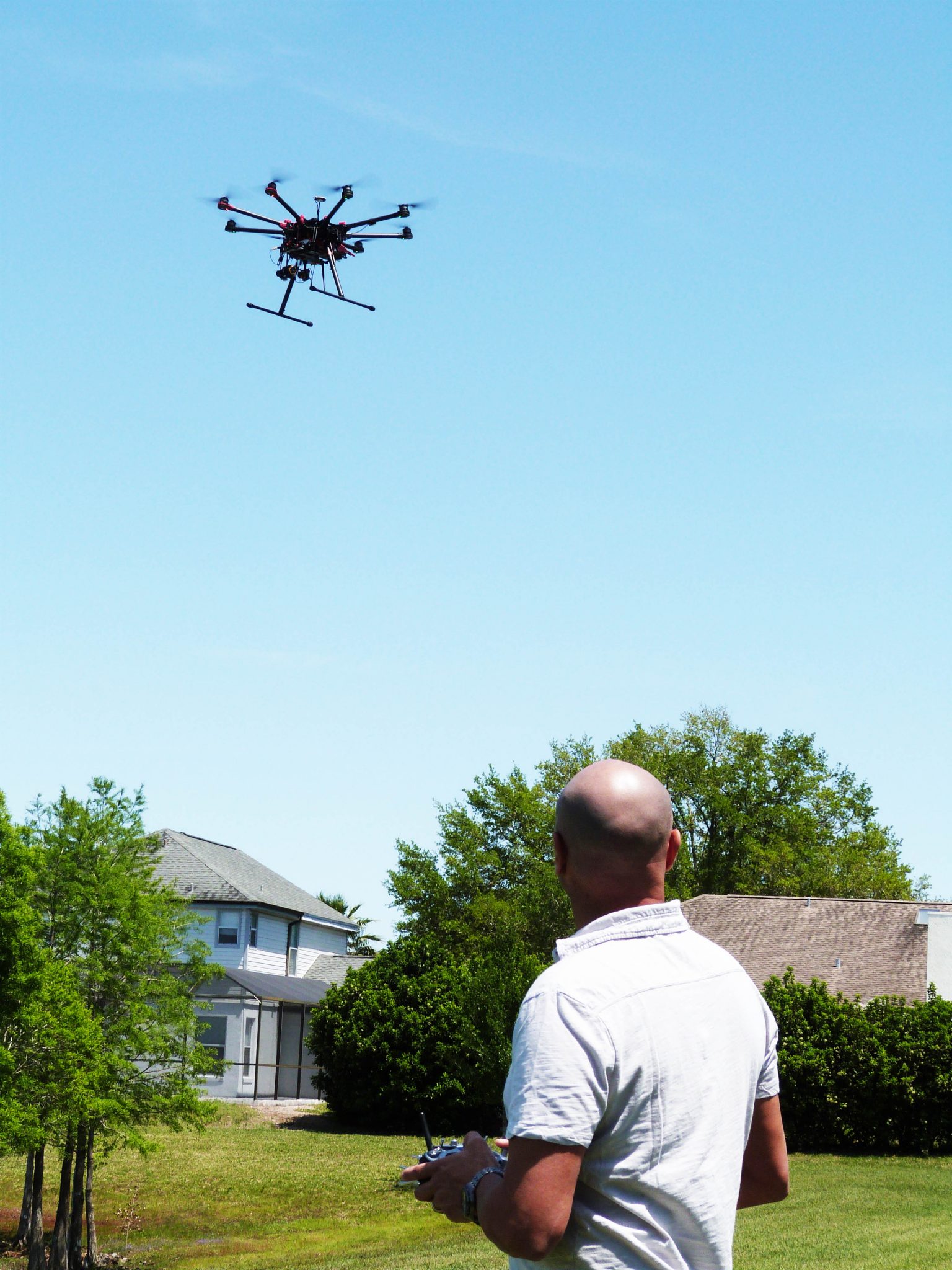
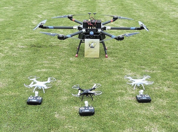
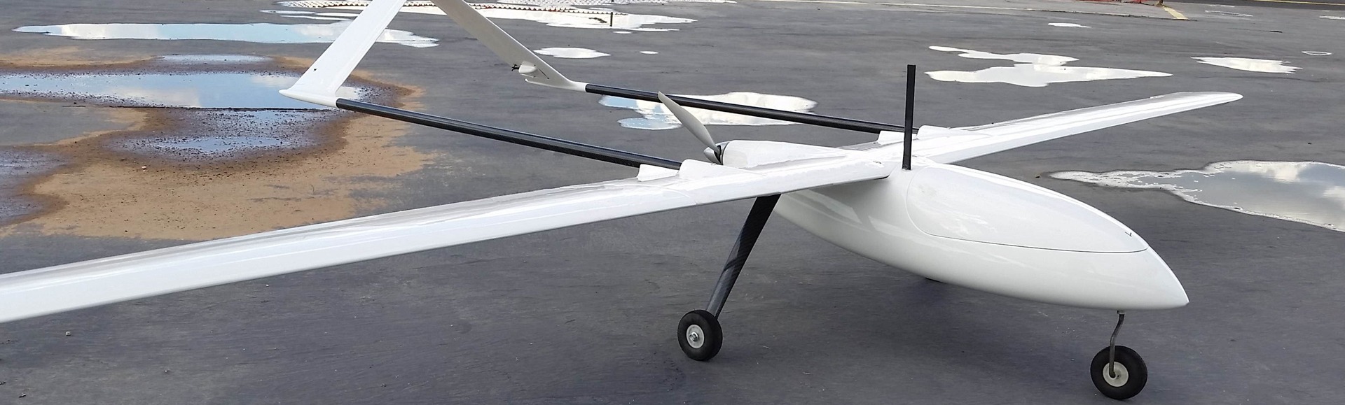
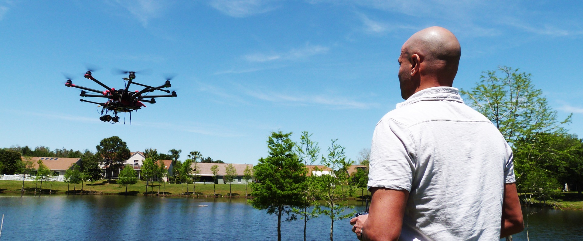
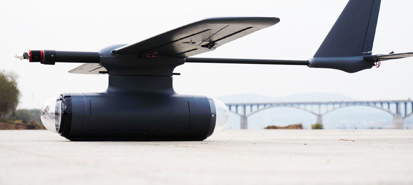
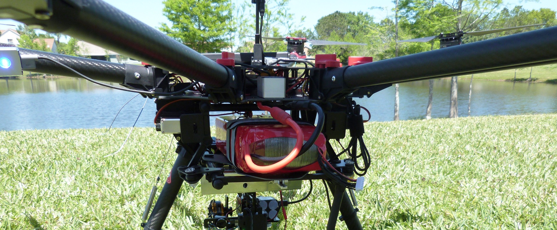
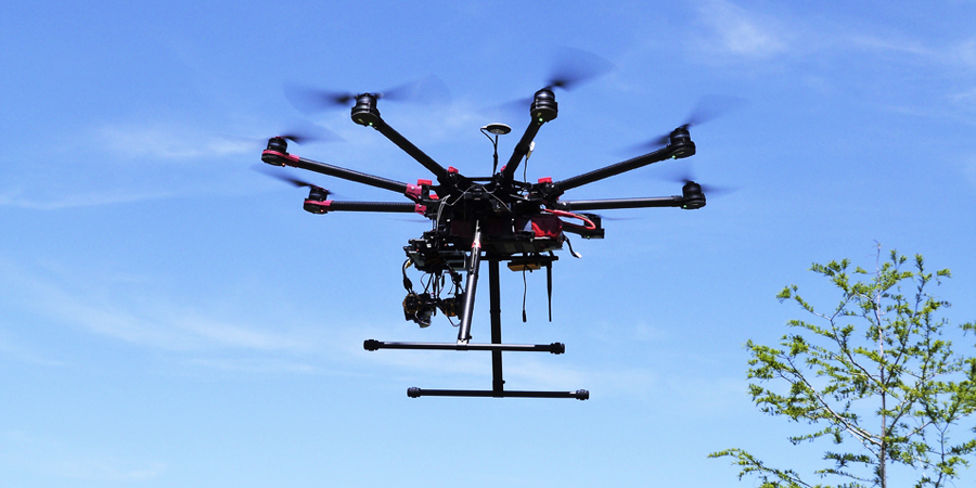
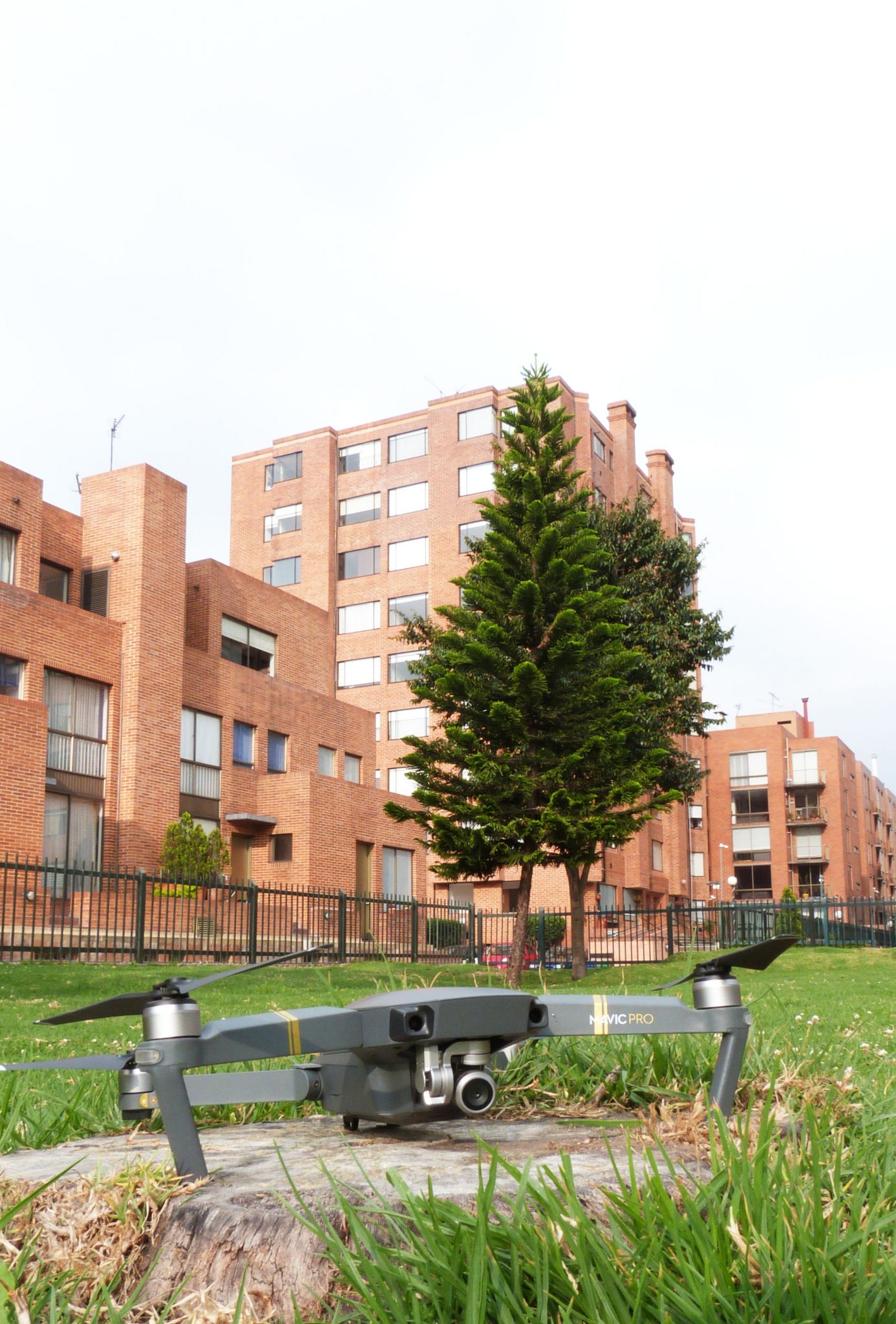
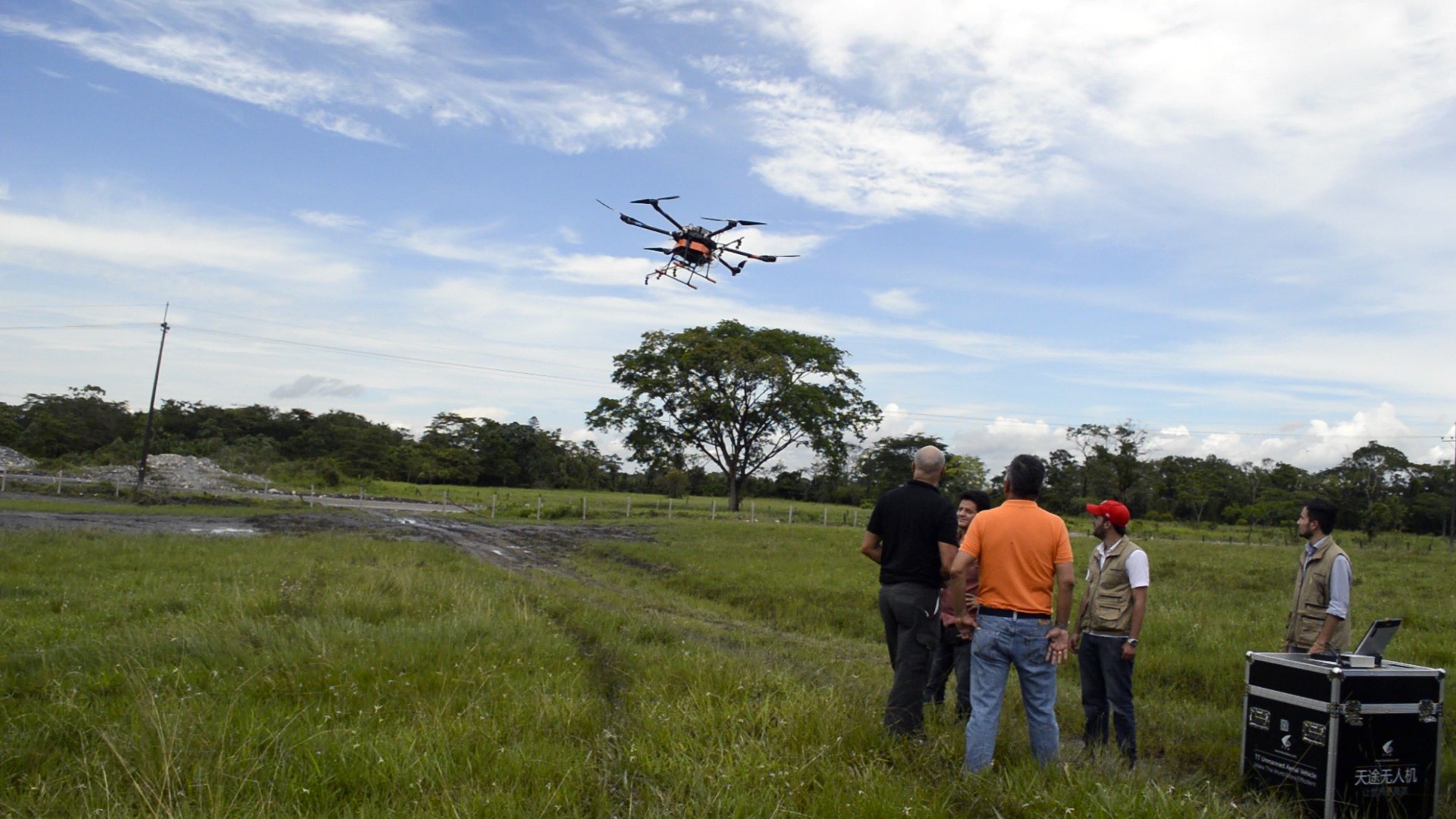
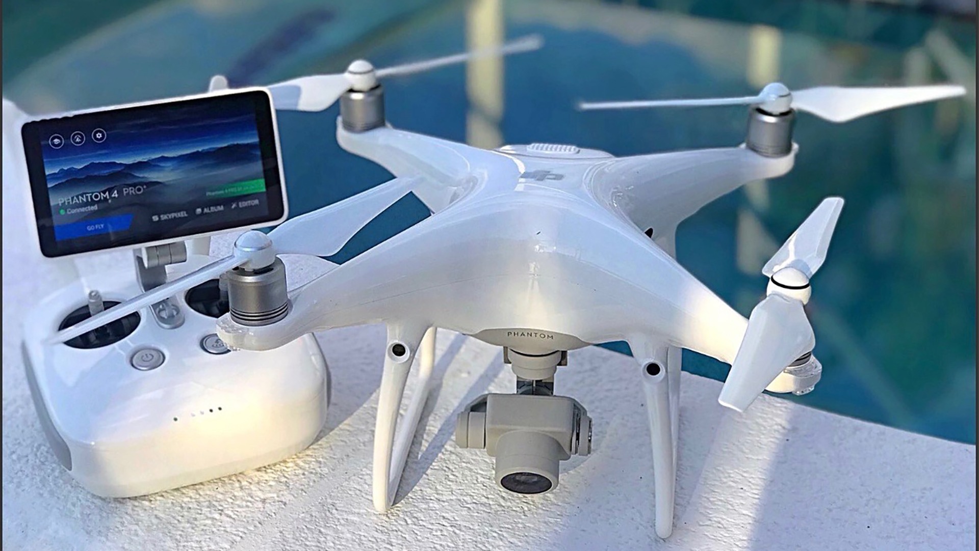
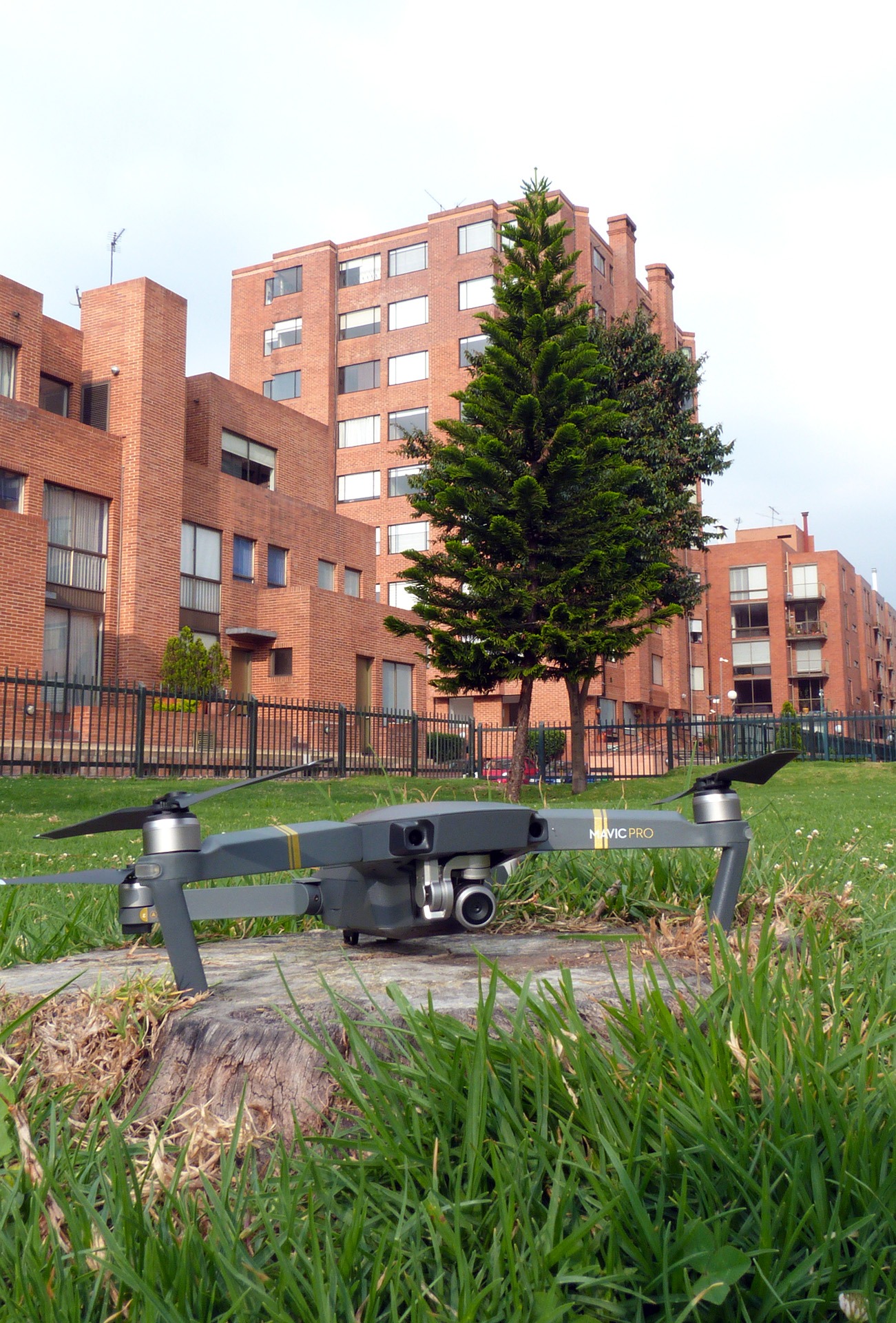
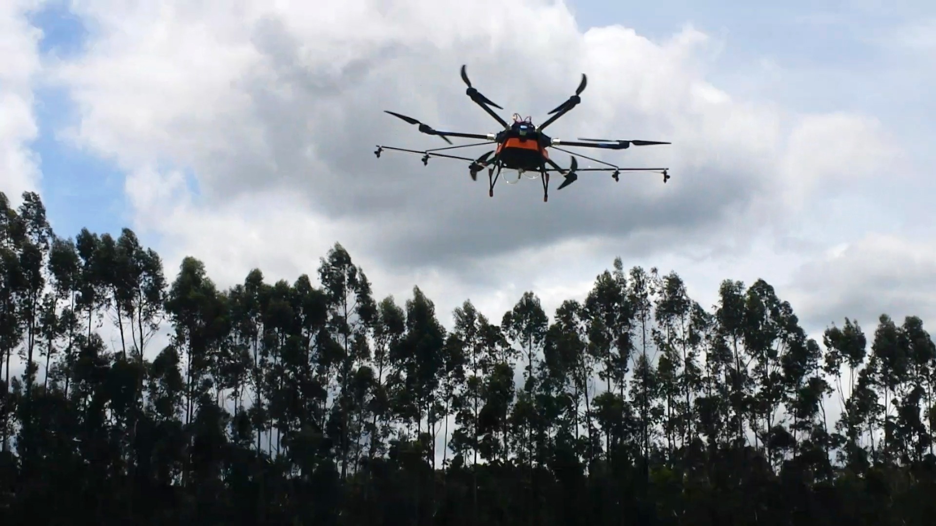
Drones
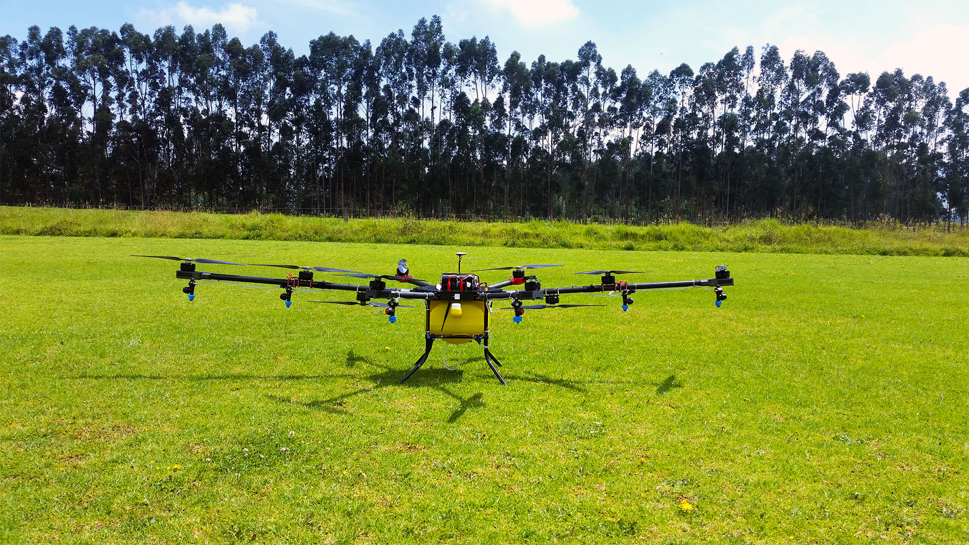
Our Drones
Gallery
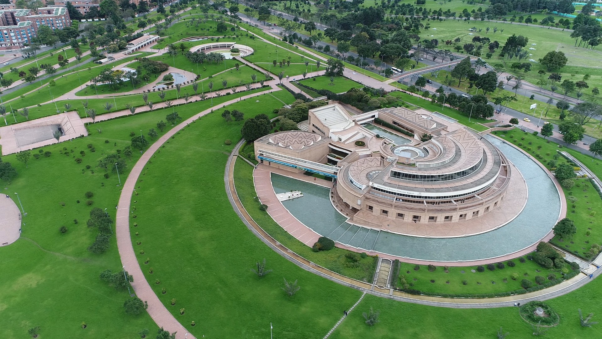
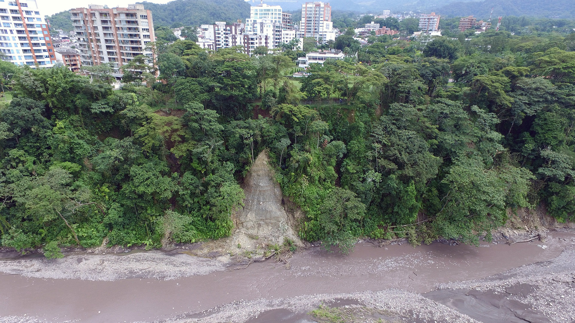
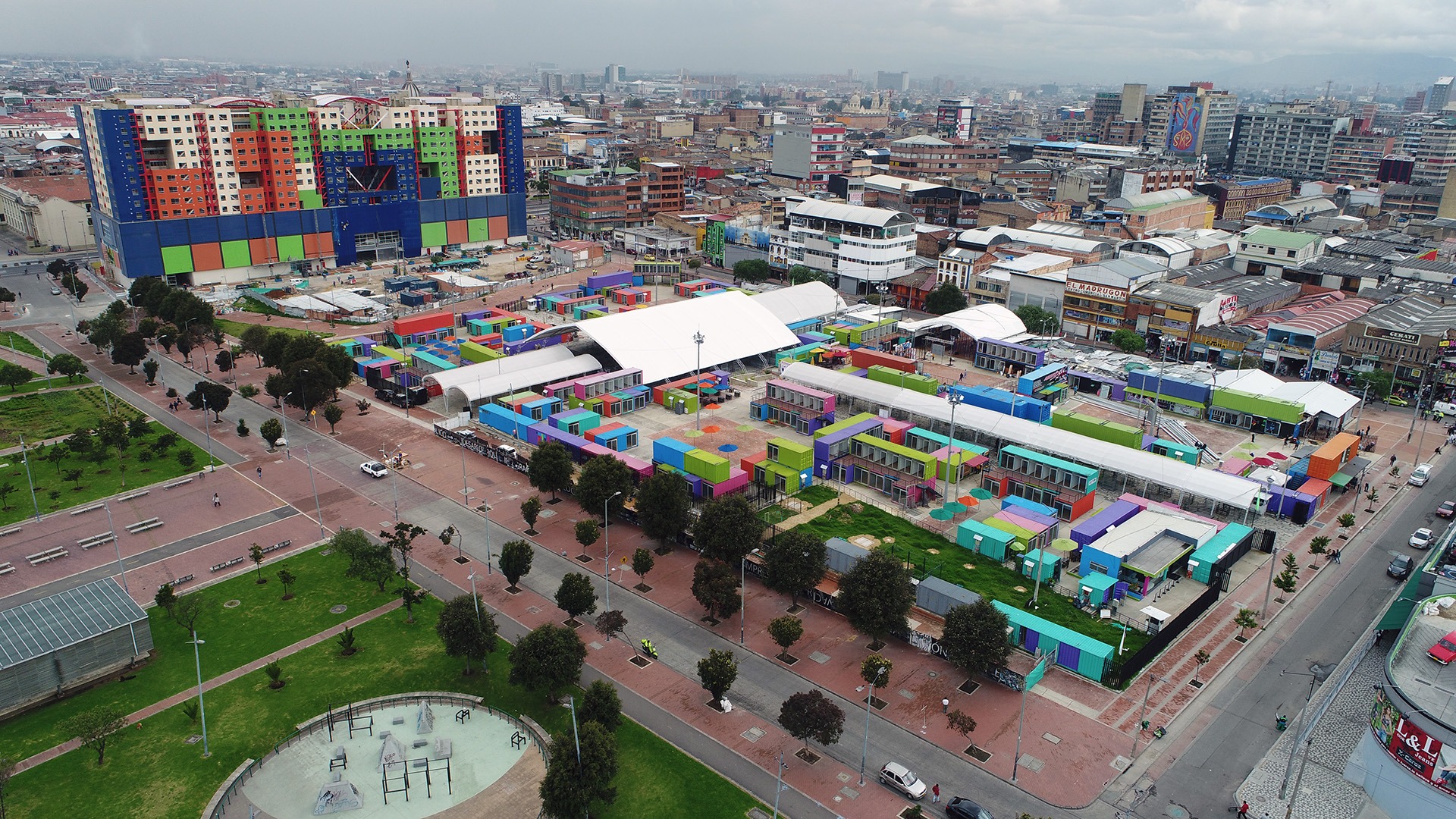
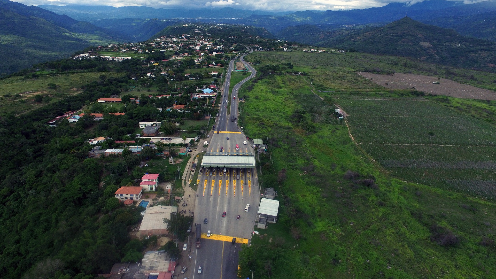
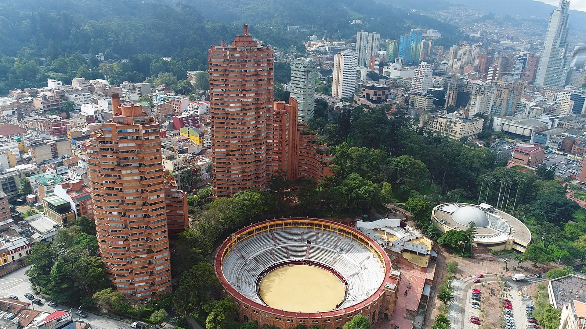
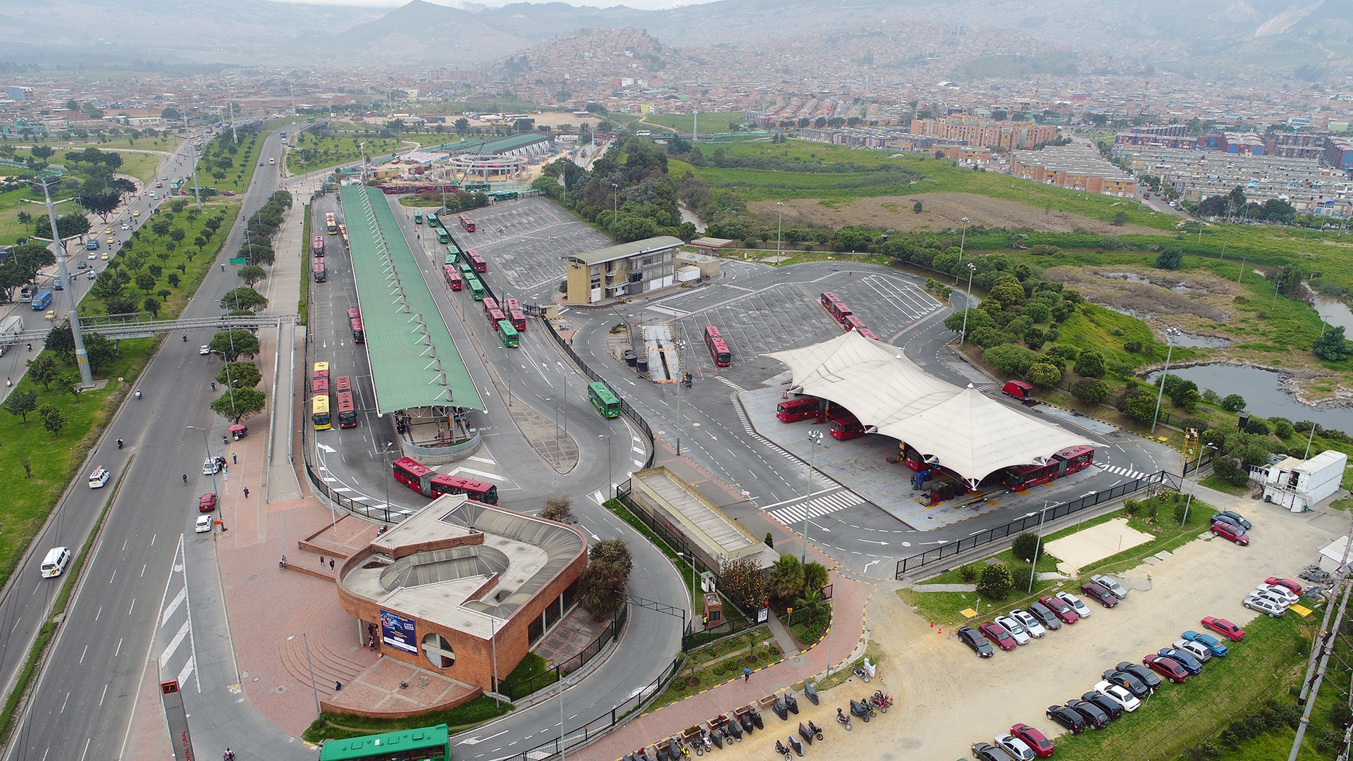
Aerial Photographs
Aerial Videos
Contact
Work with us
Customer service
Shop
Agricultural drones
Photography Drones
Looking for another Drone, tell us
Accessories
technical service
Air photograph
Photogrammetry with drones
Dron air fumigation service
Training
Aerial Photography
Colombia (+57) 350 – 4195450
USA (+1) 407 – 5837767
info@AeroScanTech.com
0